Geographical analysis
Department of Geography & GIS
Department of Geography & GIS

Geographical analysis
Year: 2013, Volume: 2, Issue: 2, Pages: 60-69
Original Article
Ramaprasad N.N.,* & Priya narayanan**
*Research Scholar, Department of Geography, School of Earth Science,Central University of Karnataka, Gulbarga,
**Assistant Professor, Department of Geography, School of Earth Science, Central University of Karnataka, Gulbarga
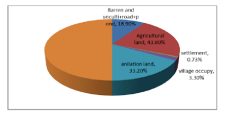
Abstract Bangalore city, growing fastest in Asia, fifth largest city in India has a decadal population growth of 39%. Geographically of Bangalore is on the Deccan plateau that falls in the rain shadow region. Number of lakes constructed along the streams in the undulating topography by the rulers of Mysore kingdom for the purpose of drinking, fishing, irrigation and domestic needs which compensated the absence of perennial water sources. Local people maintained the lakes as the custodians of these resources. With the growing demand for uninterrupted water supply, the erstwhile rulers thought of dams having larger catchment areas. Over time, this dam-reservoir concept slowly began to replace traditional lakes and ponds. The availability of pipe-lined water supply in the urban areas are sourced mostly at large dams, has reduced the utilization and value of lakes, Led to poor maintenance of the lakes, ultimately became sites for dumping waste in the urban area. The unplanned sprawl of the city and loss of lakes has resulted in many problems like urban floods, urban heat island and depletion of ground water. The few existing lakes became dry, polluted by making the situation severe. In terms of strategic planning, findings from this observation can be used in creating a self sufficient Eco friendly sustainable urban development which can prevent the further transformation of lakes. Thus by giving prime importance to improve the overall geography of lakes, the solution to water scarcity problem can be solved.
Key words: Lakes transformation, unplanned city, loss of ecology, Hydrological Drought.
Subscribe now for latest articles and news.