Geographical analysis
Department of Geography & GIS
Department of Geography & GIS

Geographical analysis
Year: 2014, Volume: 3, Issue: 2, Pages: 79-83
Original Article
Rayamane A.S.*
Professor & Chairman, Co-ordinator, UGC-SAP-DRS-I, P.G.Dept of Geography, Bangalore University, BANGALORE-560056.
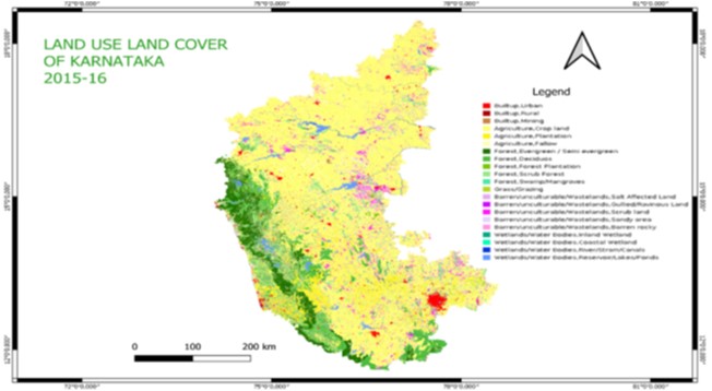
Land cover is the physical material at the surface of the earth. Land cover includes grass, asphalt, trees, bare ground, water bodies & settlements etc. Land cover is distinct from land use despite the two terms often being used interchangeably. Karnataka is located in the western part of the Deccan Plateau & the larger part of the state belongs to the Mysore plateau which is one of the three segments of larger Deccan Plateau. The state has both land as well as water frontier. The main objectives of the study are: To know the decadal variation in the land use & land cover change (2000-2001 to 2010-11). To know how demographic, economic and social factors play the vital role on changing Landuse pattern. To know how population plays an important role for changing Landuse cover in the study region. To know how the land use & land cover change impacts on environmental issues of the study region, and To know the role of Govt/politicians/Planners Scientists for changing land use & land cover scenario in the study region. Secondary data have been collected from the Directorate of Economic and statistics, Bangalore, Govt of Karnataka, Bangalore-I, for the year 2000-01 & 2010-11.Simple statistical methods are used to show the result variations like Pie-diagram, Bar graph, standard deviation etc. Table for both the study periods have been prepared with percentage conversion.
Keywords: Land use, Land cover.
© 2014 This is an open-access article distributed under the terms of the Creative Commons Attribution License, which permits unrestricted use, distribution, and reproduction in any medium, provided the original author and source are credited.
Published By Bangalore University, Bengaluru, Karnataka
Subscribe now for latest articles and news.